

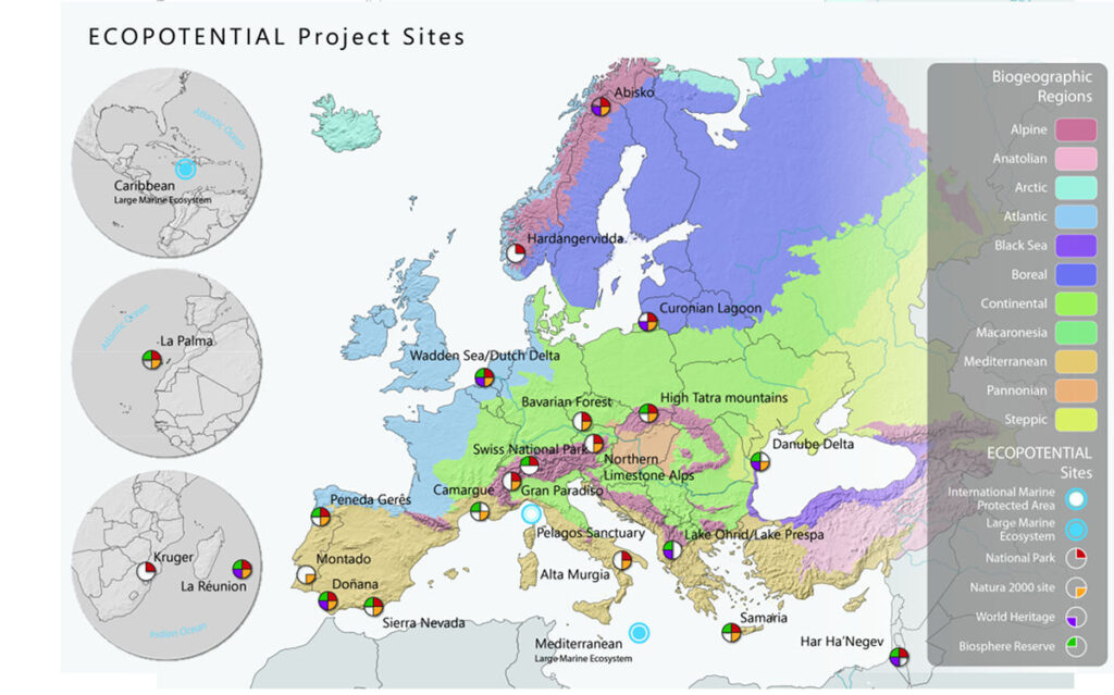
ECOPOTENTIAL focuses its activities and pilot actions on a targeted set of internationally recognised Protected Areas across Europe, European Territories and beyond. These areas serve as living laboratories for understanding how ecosystems function, how they are changing, and how their services can be protected and sustained in the future.
The selected Protected Areas represent a diverse range of environmental contexts, including:
- Mountain ecosystems, characterised by complex topography, climate variability and sensitive habitats.
- Arid and semi-arid ecosystems, where water availability, land degradation and climate change represent major environmental challenges.
- Coastal and marine ecosystems, which are particularly exposed to pressures such as climate change, pollution, habitat degradation and human activities.
Across these different environments, ECOPOTENTIAL brings together complementary sources of information and scientific approaches. Earth Observations from remote sensing are combined with field measurements, providing a comprehensive picture of ecosystem conditions and their evolution over time.
The project integrates these observations with data analysis, modelling and ecosystem assessment to investigate both current and future conditions. This approach supports a better understanding of ecosystem processes, environmental pressures and the services that ecosystems provide to society.
By working across different Protected Areas and geographical scales, ECOPOTENTIAL aims to develop transferable knowledge and tools that can support evidence-based conservation, sustainable ecosystem management and informed environmental decision-making.
22 Protected Areas in the world
Abisko
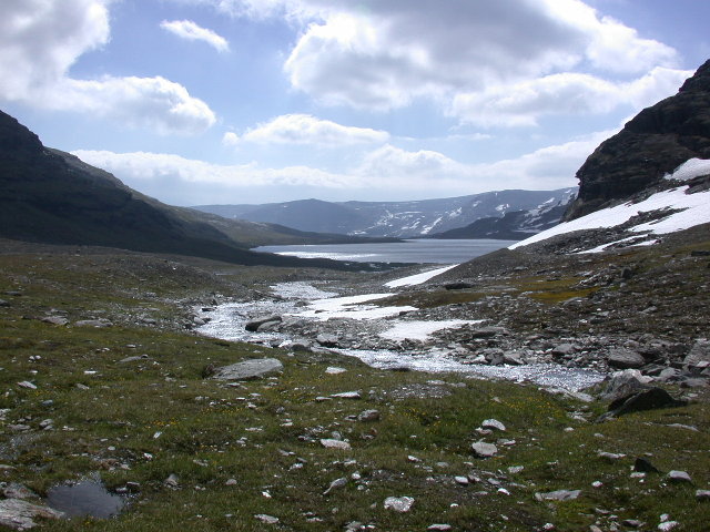
This protected area is located at the ecotones between the boreal forest and the subarctic tundra. The park was established as early as in 1909. In this year, the first nature conservation law in Sweden was created. The mountainous park has a surface of 77 km2 and covers an altitudinal gradient between 341 and 1191 m asl. The limits of the…
Austrian Limestone Alps
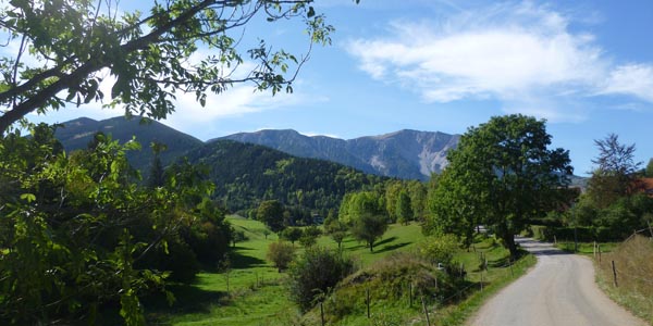
The pilot study region covers the major part of the national park “Northern Limestone Alps” in the province Upper Austria. The region was chosen since it covers a representative variation of environmental conditions of the montane forest belt on limestone bedrock of the European Alps. Annual air temperature is approx. 7-10°C and annual rainfall is between 1500-2000 mm. Snowfall occurs…
Bavarian Forest
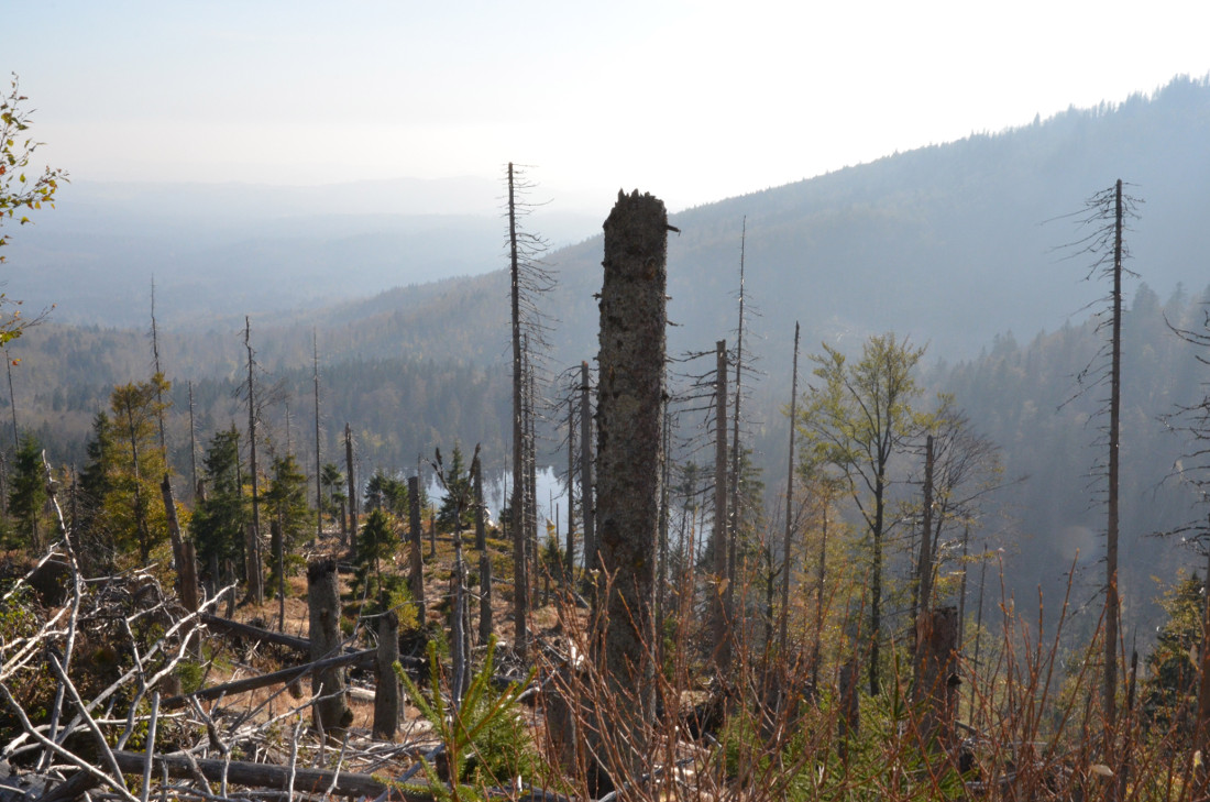
The Bavarian Forest National Park (Nationalpark Bayerischer Wald) was the first one to be established in Germany already in 1970. It covers an area of 24,250 ha. The most important peaks are Lusen (1373 m a.s.l.) and Großer Rachel (1453 m a.s.l.). The major land cover is by forest ecosystems either natural or previously managed. Around settlements, extensively managed grasslands…
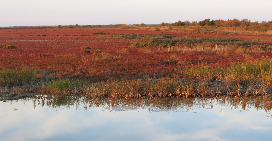
Camargue
The Tour du Valat (TdV) is a private research centre located on a 2 600 ha estate (of which 1 800 ha are classified in natural reserve) in the Camargue (Rhône delta), south of France. Created in 1954 and legally recognised as a non-profit-making association, it has set itself the mission to halt and reverse the destruction and degradation of Mediterranean…
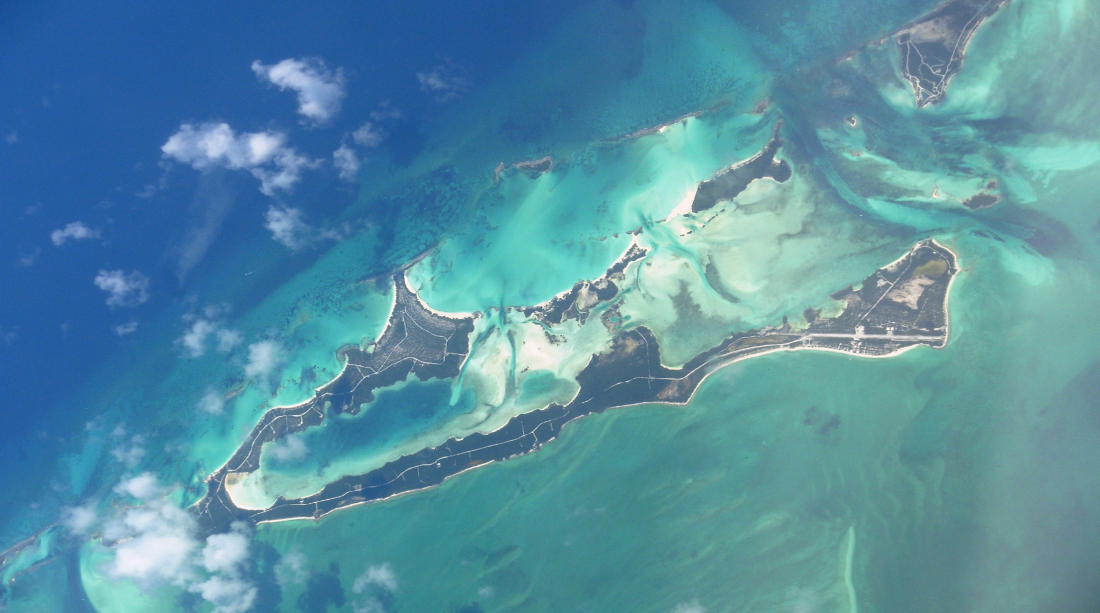
Caribbean LME
The boundaries of the CLME Project encompass the Caribbean Sea LME and the North Brazil Shelf LME and include 26 countries and 19 dependent territories of France, the Netherlands, United Kingdom and United States. These countries range from among the largest (e.g. Brazil, USA) to among the smallest (e.g. Barbados, St. Kitts and Nevis), and from the most developed to…
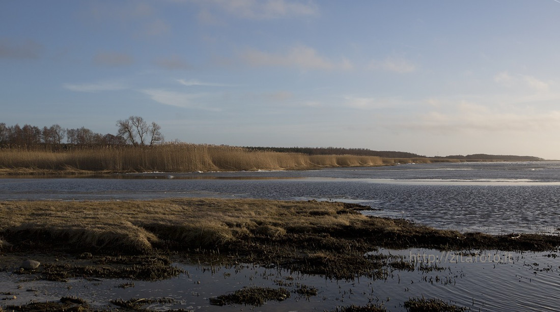
Curonian Lagoon
The Curonian Lagoon – the largest European lagoon – is a shallow water body (total area 1584 km2, mean depth 3.8 m; maximum depth 5 m). Situated in the southern part of the Baltic Sea, the lagoon receives water from the River Nemunas, the third-largest contributor (after the Vistula and Oder) of total nitrogen and phosphorus to the Baltic Sea). The…
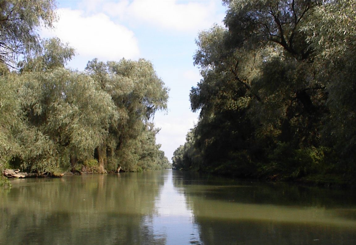
Danube Delta
Before reaching Black Sea, the Danube river forms a delta covering a surface of 5,165 km² shared between Romania (86%) and Ukraine (14%). The Danube Delta is the second largest in Europe, after that of the Volga River. The geomorphology of the area formed by the dynamics of the river arms, low altitudes and the presence of the sea, creates…
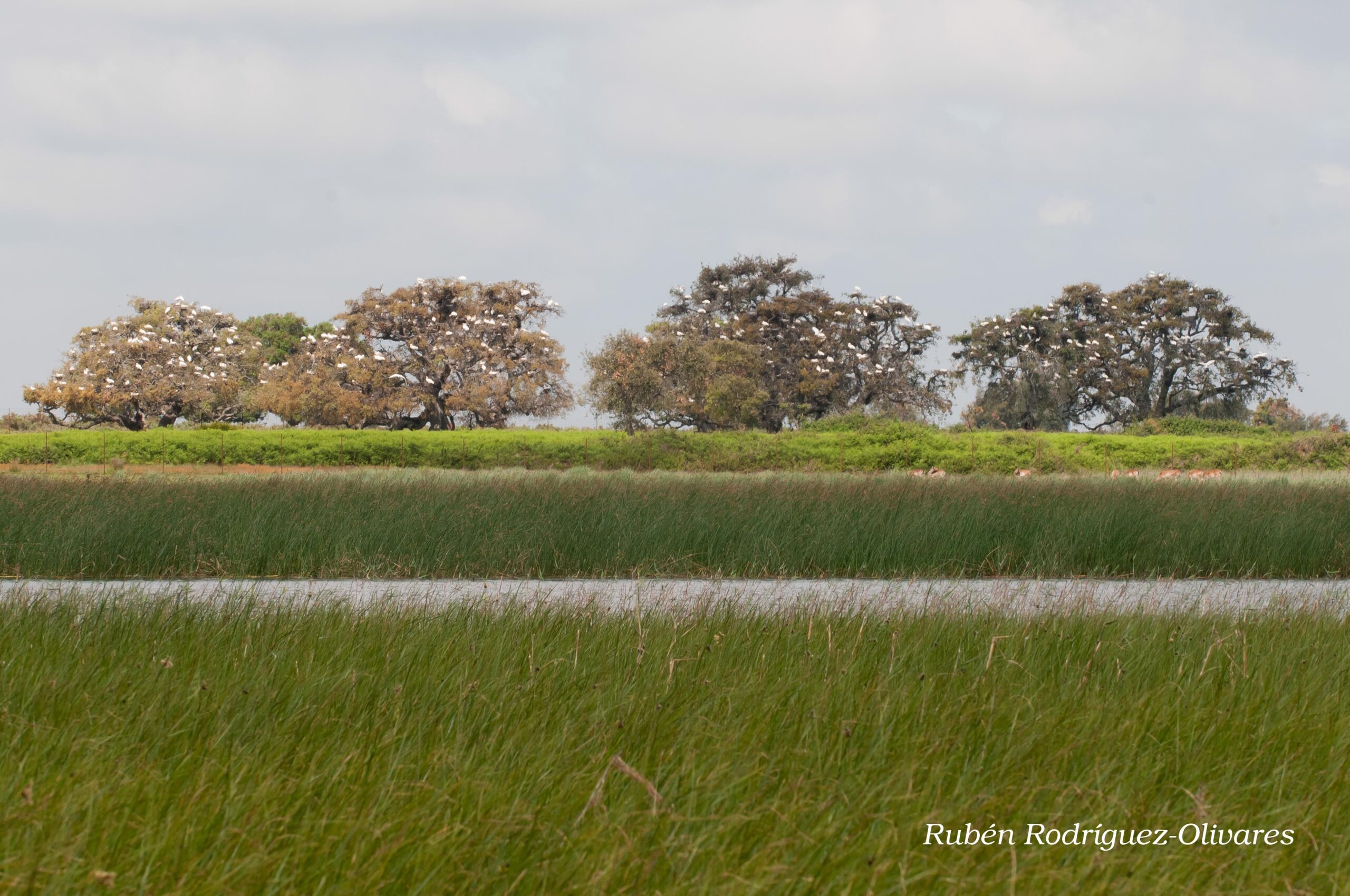
Doñana
The Doñana National Park (537 km2) in Spain, is a protected area since 1969. Currently it is a UNESCO Biosphere Reserve (since1980), a Ramsar Site (1982), a Natural World Heritage Site (1984) and it is integrated in the Natura 2000 network, which also includes the surrounding Natural Park with a similar extent. It contains one of the the largest wetland…
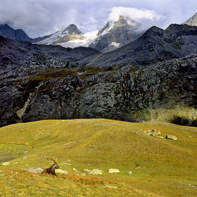
Gran Paradiso
The Gran Paradiso National Park (GPNP) is a protected area instituted in 1922; it is the oldest National Park in Italy. It borders with the Vanoise National Park in France. These two parks form a huge system of high-elevation protected areas in the Alps, characterized by the presence of significant glaciers and high-altitude environments, and host the original surviving population…
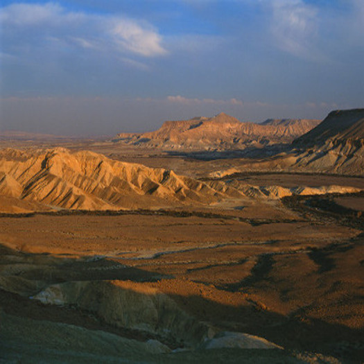
Har Negev
Har Negev Reserve (HNR) is a part of the central Negev Highlands, and has an annual rainfall of 80-100 mm, about 200 nights of dew and a mean annual temperature of 17°-19°C. HNR is characterized by high degree of geo-diversity induced by geological and geomorphological long term processes. Vegetation is mostly in a diffused spot pattern on the slopes and at…
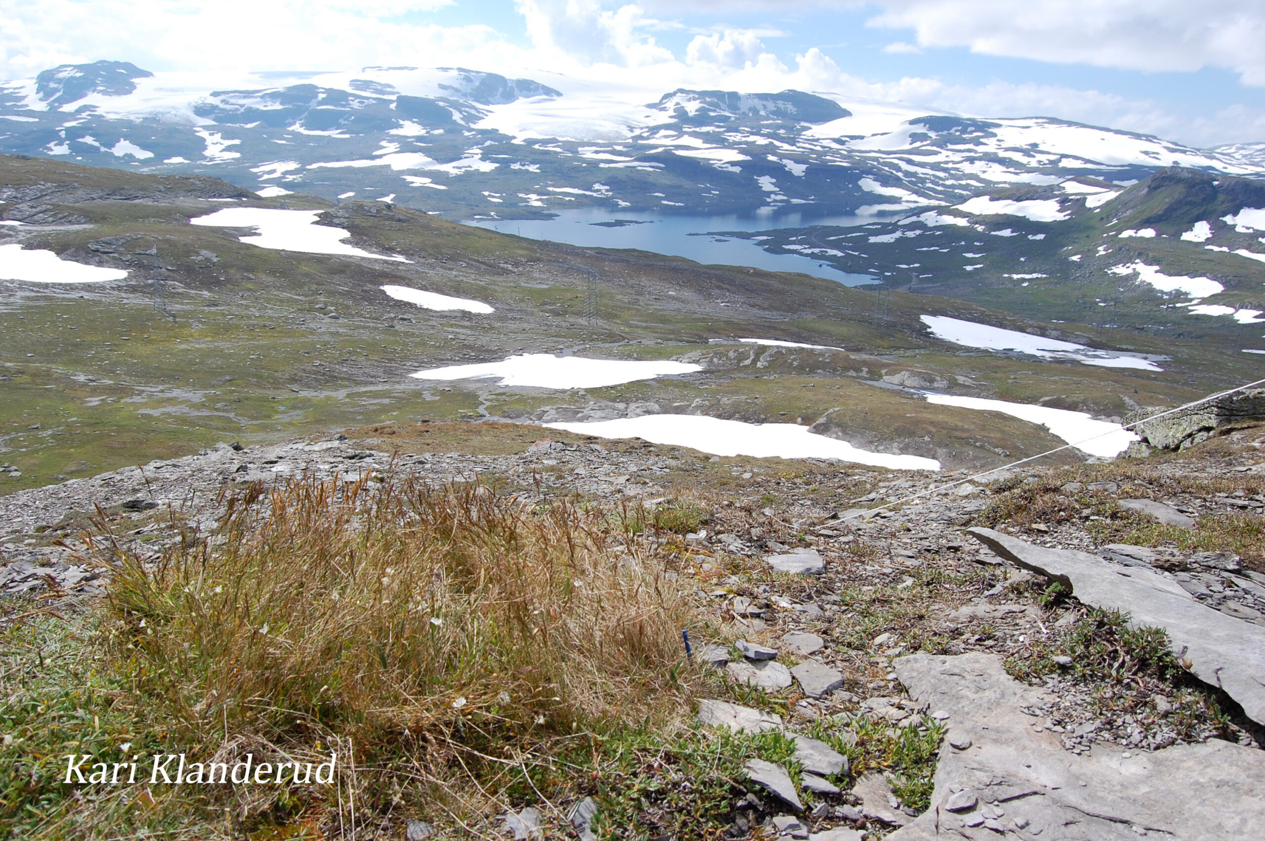
Hardangervidda
The National Park was established in 1981, and about half of the land is private and the rest is governmental. Hardangervidda is the largest mountain plateau in Europe, and the inner core of Hardangervidda is the largest National Park in Scandinavia (excluding Svalbard). The park is 3422 km2 large, and intercept three counties (Hordaland, Buskerud and Telemark) and eight municipalities. The…
Kruger
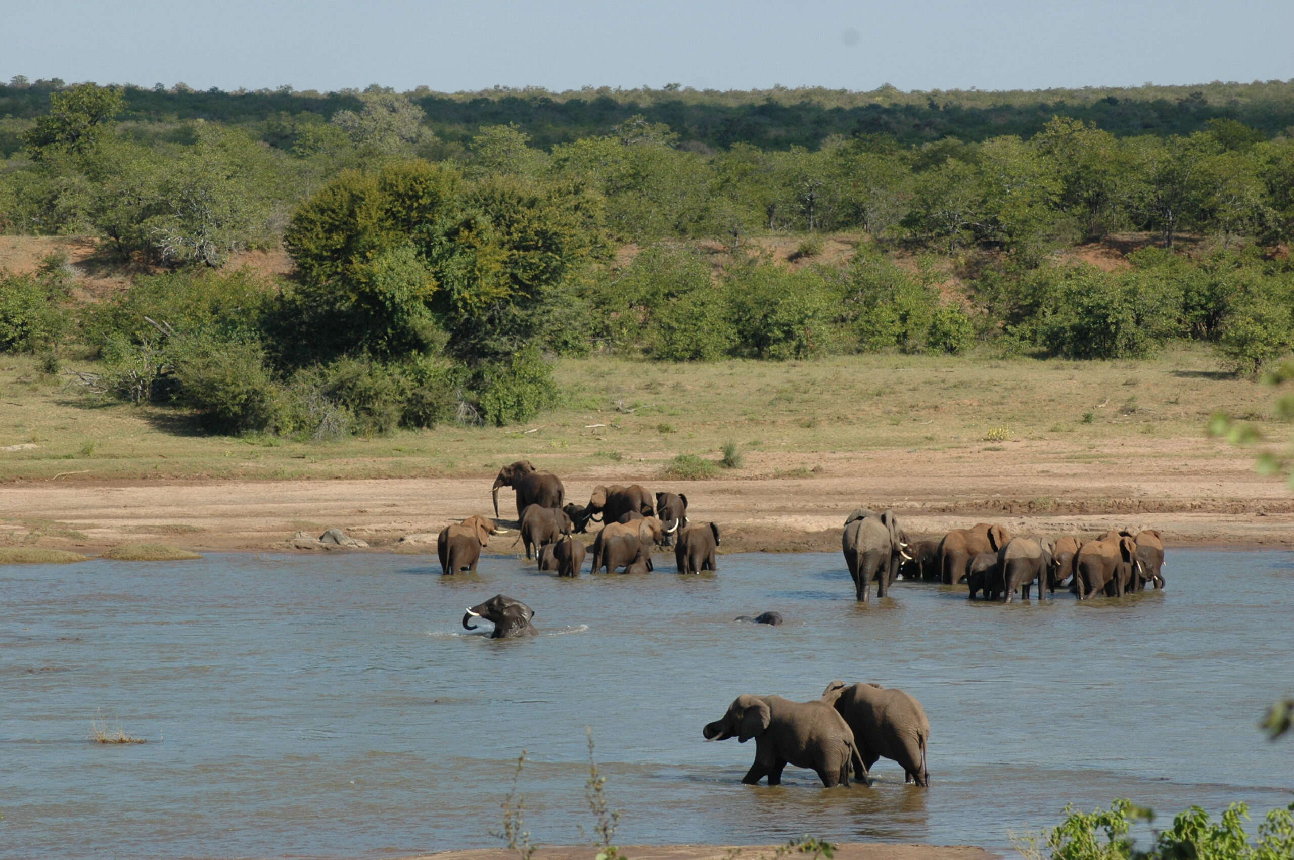
Kruger National Park (KNP) is a fenced National Park located in the north-eastern part of South Africa. KNP is one of Great Limpopo Transfontier Park, including Limpopo National Park in Mozambique and Gonarezhou in Zimbabwe. KNP is located in the dry savanna biome, and was established in 1898 to protect wildlife. Savanna means is characterized by the co-dominance of grasses…
La Palma and Caldera de Taburiente
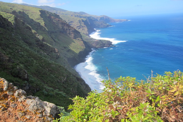
Today the whole island of La Palma is under the status of a UNESCO biosphere reserve, after initially in 1983 the laurel forest of Los Tilos was established as a first biosphere reserve, which was the first on all Canary Islands. It is an outstanding fact that in this reserve a complete terrestrial surface is protected including large surfaces of…
Mediterranean LME
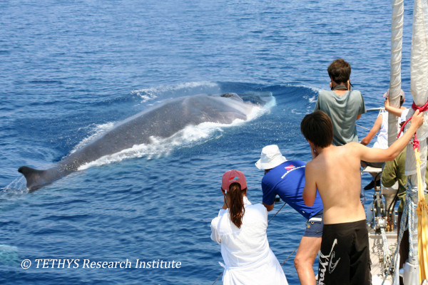
The Mediterranean Sea Large Marine Ecosystem (LME) is characterized by its temperate climate. It is a semi-enclosed sea with several distinct biogeographical sub-units. It is bordered by a high number of countries. Intensive fishing is the primary force driving the LME, with eutrophication as the secondary driving force. Productivity The Mediterranean Sea has a narrow continental shelf. For the origin and history of…
Montado
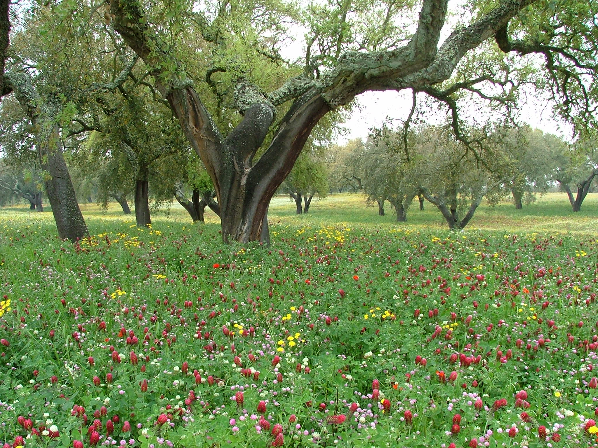
Montados (or dehesas in Spanish) are traditional wood-pasture systems with a savanna type structure, characteristic of the Mediterranean Basin [1, 2]. In Portugal, Montados are mainly distributed in the southern half of the country where the climate is Mediterranean. Annual average precipitation is 600 mm and mean annual temperature is 15ºC (but there is large variation within the area of…
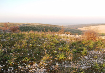
Murgia Alta
The Site of Community Importance Murgia Alta IT9120007 is located in Puglia, Italy, and it has an area of 1258,89 km2. The most important habitat types in this site, according to 42/93/EEC directive are 6210(*)Semi-natural dry grasslands and scrubland facies on calcareous substrates (Festuco-Brometalia) (*important orchid sites) and 6220* Pseudo-steppe with grasses and annuals of the Thero-Brachypodietea. The regional Authority, in…
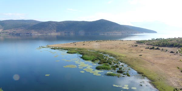
Ohrid and Prespa
The Region of Ohrid and the Prespa Lakes, situated in south-western Europe (40°40’- 41°2’N latitude; 20°23’-21°16’E longitude), extends across the borders of Albania, Greece, and Former Yugoslav Republic of Macedonia (FYROM). Lake Ohrid and Prespa Lakes belong to a group of Dasseretes basins that originated from a geotectonic depression 2 to 5 million years ago on the western Dinarides. Because of…
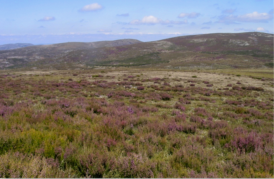
Peneda-Gerês
The National Park covers ca. 70 000 hectares and was founded in 1971. It is located at a climatic transition zone (the climate is Temperate/Atlantic Sub-Mediterranean), with 1-2 dry months in summer. Annual rainfall is usually above 2000 mm, reaching 3500 mm in summits. Granite is by far the dominant bedrock type. The main ecosystem/land cover types are deciduous oak…
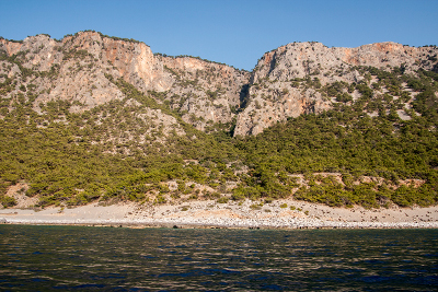
Samaria
Samaria (White Mountains) National Park is located on the West part of island of Crete and was declared as a National Park via a Royal Decree in 1962. It is a muli-designated area and specifically a National Park, Landscape of Outstanding Beauty, Natura 2000 site coded GR 4340008 and GR4340014 and Biosphere Reserve in the framework of the “Man and…
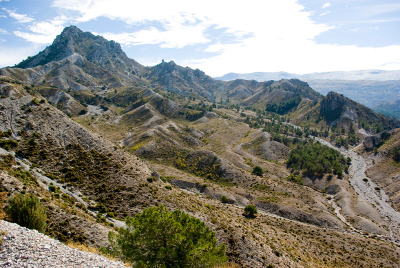
Sierra Nevada
Sierra Nevada (Andalusia, SE Spain), is a mountainous region with an altitudinal range between 860 m and 3482 m a.s.l. covering more than 2000 km2. The climate is Mediterranean, characterized by cold winters and hot summers, with pronounced summer drought (July-August). The annual average temperature decreases in altitude from 12-16ºC below 1500 m to 0ºC above 3000 m a.s.l., and…
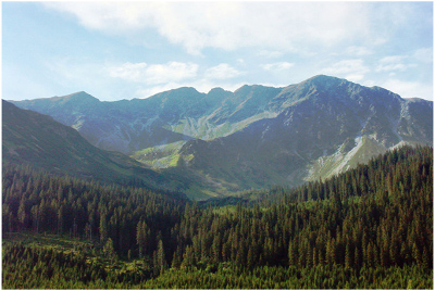
Tatra Mountains
The Tatra Mountains are located at the border between Poland and Slovakia in eastern Central Europe. They cover the area of approx. 785 km2, with approximately 78% of their total area belonging to Slovakia and 22,3% belonging to Poland. The elevational gradient reaches from around 700 m a.s.l. to the highest peak Gerlachoský štit at 2655 m a.s.l. The Tatra…
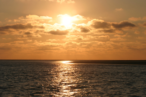
Wadden Sea and Dutch Delta
The Wadden Sea is an international, highly productive estuarine area, and one of the largest coastal wetlands in the world. Situated abreast mainland Europe in the south-eastern portion of the North Sea, it borders Germany, the northern portion of the Netherlands, and western Denmark, thereby requiring tri-lateral cooperation in the management and protection of the system. This coastal area is…